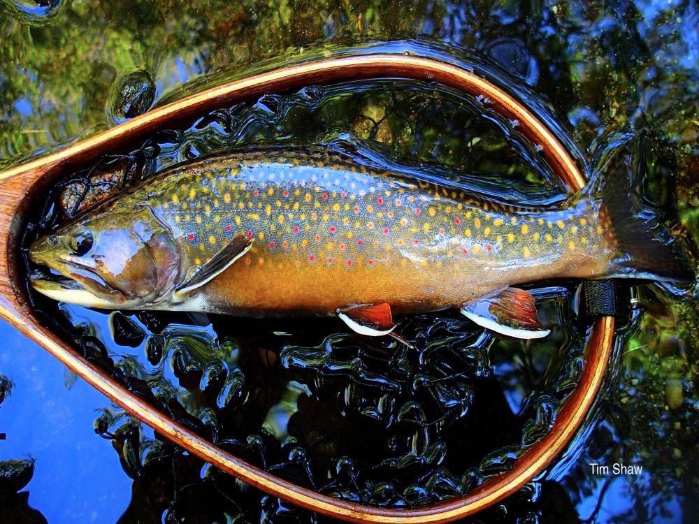
The Maine Brook Trout Waters Interactive Map allows users to locate Wild and Native Brook Trout Waters and the most current open water fishing regulations. We plan to periodically add additional layers as they become available. We think you will enjoy this user-friendly resource and hope that it helps with your next fishing trip to or within the State of Maine.
The information used to create this interactive map was acquired by the Maine Council of Trout Unlimited (METU) Dud Dean Angling Society (DDAS), and the Sportsman’s Alliance of Maine (SAM) from the Maine Department of Inland Fisheries & Wildlife (MDIFW). Obtained were multiple datasets of fisheries information stored in MDIFW Regional Offices, the Research Office and Central Offices. Using the MDIFW 2006 Principal Brook Trout (BKT) list as a template, and the MIDAS # (watcode #) as a key field for quality control purposes, DDAS created a dataset combining several different MDIFW datasets (i.e.: Lake and Pond Inventory, Stocking Archives and Regional Files).
Special thanks to Christian Halsted who created the interactive map using Google Earth and data from the DDAS/SAM/TU Principal Brook Trout database. Many thanks to Chris for volunteering his time to make this project come to life for all anglers to use and enjoy!
MDIFW Fishing Regulations 2025
Definitions:
Native Brook Trout Lakes & Ponds: A native BKT fishery is defined by the MDIFW as a body of water that has no record of being directly stocked, or indirectly stocked as a result of a stocking event in a connecting water The 2009 MDIFW Never Stocked BKT List contains 306 waters that have no record of a direct or indirect stocking event.
Wild Brook Trout Lakes & Ponds: A wild brook Trout fishery is defined by MDIFW as a body of water that has not been directly stocked with brook trout in the previous 25 years. The MDIFW 2009 Not Stocked Since 1983 BKT List indicates that there are 250 wild BKT lakes and ponds.
Disclaimer: While we have made every attempt to ensure the regulations listed for each water is accurate, an incorrect listing or regulations change is possible. It is imperative that you refer to the most current Maine Department of Inland Fisheries & Wildlife Fishing Regulations Law Book to confirm the regulations for the waters you fish.